Continents are defined by National Geographic as “Earth’s seven main divisions of land.” Ranked in order of size, they include Asia, Africa, North America, South America, Antarctica, Europe, and Australia (sometimes referred to as Oceania). For many of us, identifying which continent we live on is straightforward. But when you reach the edges of continents, it can be a little trickier to figure out where one ends and another begins. That’s especially true of these transcontinental countries and cities.
Istanbul, Turkey
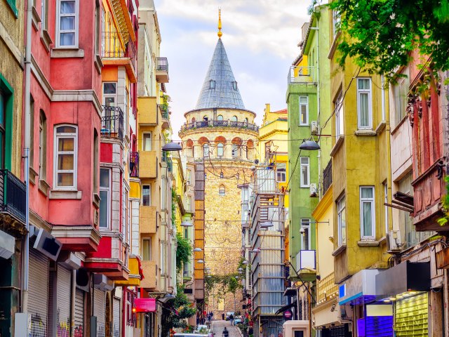
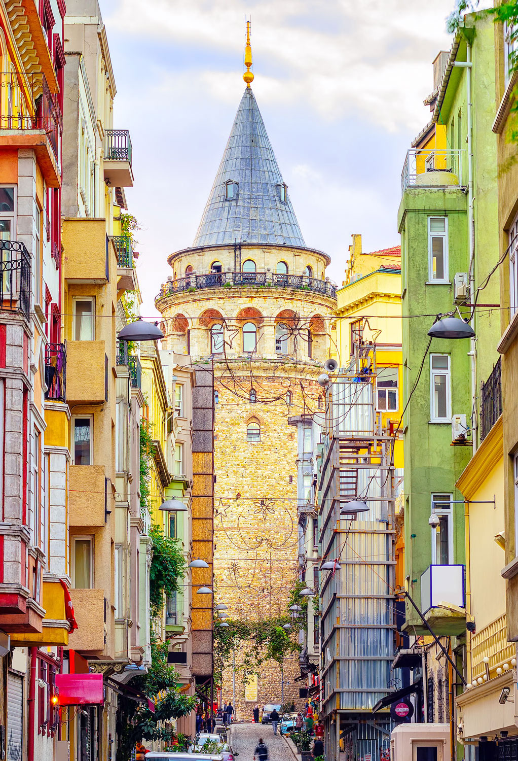
Istanbul — the world’s most famous transcontinental city — is bisected by the Bosphorus Strait, one of the world’s most important waterways. Europe sits on the western side of the strait, which connects the Black Sea to the Sea of Marmara and the Mediterranean. On the other side is Asia, where a significant portion of Istanbul’s urban area lies. Formerly called Constantinople, Istanbul was once the capital of the Roman, Byzantine, and the Ottoman Empires, thanks to this strategic location. Though Istanbul is no longer the Turkish capital, as Europe’s most populous city, it still retains considerable influence.
Turkey itself is a transcontinental country, as the vast majority of its area lies on the Anatolian Peninsula in western Asia. The European section, called East Thrace, represents approximately 3% of Turkey’s area about about 10% of its population. The Turks were originally nomads who migrated eastwards from the Altai Mountains in Asia; some, like the Seljuks, settled in Anatolia. In this respect, though Turkey is transcontinental, it has stronger ties to Asia than to Europe.
Atyrau, Kazakhstan
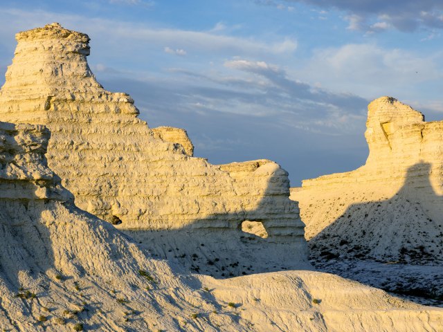
Continuing east from Turkey, there’s no consensus on the dividing line between Europe and Asia. North of the Caspian Sea, however, things are a little simpler — Russia and Kazakhstan are both considered transcontinental nations. Here, Europe and Asia are split by the Urals mountain range and the Ural River. The boundary runs broadly north to south through Russia, connecting the Novaya Zemlya archipelago in the Arctic region to the northwest corner of Kazakhstan at the Caspian Sea.
Kazakhstan is culturally part of Central Asia; however, at the mouth of the Ural River, you’ll find the transcontinental city of Atyrau. There’s a pavilion close to Atyrau Square on Abay Street that reads Азия (Asia); on the opposite bank, an identical landmark is marked Европа (Europe).
In the 17th century, this Kazakh city — then known as Guryev — was founded as a fishing port thanks to an abundance of sturgeon in the nearby waters. Today, it supports a metro population of more than 355,000 people, largely due to the employment opportunities stemming from the presence of nearby oil deposits. Atyrau isn’t the only transcontinental city on the Ural River, either — the Russian cities of Magnitogorsk and Orenburg also straddle the water and thus the two continents.
Suez, Egypt
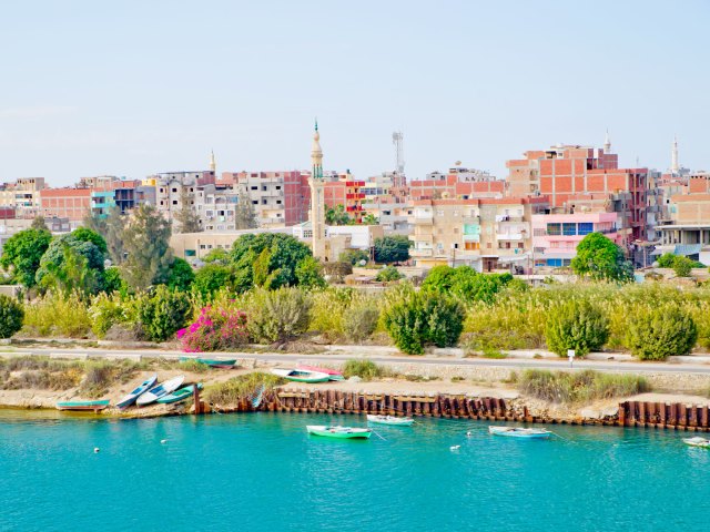
While most of Egypt is located in North Africa, its territory also contains part of the Sinai Peninsula, which is classified as part of Asia. The two continents were once connected by a narrow piece of land called the Isthmus of Suez. When the Suez Canal was completed in 1869, it created a narrow gap, severing the two continents. In places, the waterway wasn’t even large enough for two ships to pass each other. Since then, it’s become one of the busiest shipping lanes in the world, and to accommodate the increase in traffic, the canal has been significantly widened.
The city of Suez, a large port at the southern end of the canal, started out as the ancient Greek city of Clysma and later became the al-Qulzum. Today, it is administered as part of the Governorate of Suez, a small part of which is located within Asia. As a consequence, the city of Suez is therefore sometimes referred to as transcontinental, even though most of its built-up areas are situated on the west bank of the canal in Africa.
Iceland
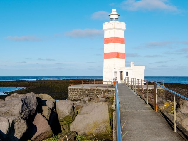
The island nation of Iceland straddles the North American and Eurasian plate boundaries in the North Atlantic Ocean. This rift in the landscape is evident in multiple places. The most accessible of these to visitors are on the Reykjanes peninsula, at the Bridge Between Continents, and in Thingvellir National Park. While Iceland technically spans two continental plates, politically, it is considered European.
To understand why, we need to go back to the ninth century. When Norseman Ingólfur Arnarson arrived in 874, Iceland was uninhabited. He settled in a place he called Reykjavik, meaning “smoky bay.” Formal ties to the Nordic countries endured for a thousand years, during which time sovereignty passed to Denmark. Iceland was granted home rule in 1874 and eventually became an independent nation in 1944. However, its links to the other Nordic nations in terms of trade, the free movement of labor, and governmental collaboration, remain strong. So although geologically, the country can be considered partly North American, in practice its roots are firmly planted in Europe.
Panama and Colombia
Identifying where the precise boundary between North and South America sits is surprisingly difficult. Politically, Panama is part of Central America, and therefore, by extension, part of North America. Meanwhile, the majority of Colombians identify as South American, though some of the country’s islands, such as San Andrés and Providencia, are in North America. Many geographers accept that the border between Panama and Colombia also forms the continental boundary between North and South America.
However, some argue that you should look to plate tectonics — that is, where the Panama plate boundary meets the North Andes plate boundary. Over time, the north west of Colombia is being shunted eastwards by the Panama plate. The border between the two countries falls somewhere within the Darién Gap, a mountainous region characterized by dense forest and swampy ground. The Pan-American Highway ends abruptly at Yaviza, Panama, and around 60 miles further south, it restarts in Colombia. Law enforcement in this remote and inaccessible place is challenging, another factor that contributes to the region’s enigmatic status.
More from our network
Daily Passport is part of Optimism, which publishes content that uplifts, informs, and inspires.

